Sunday, July 17, 2011

Boardman and Evan Lake trail ~ July 14th 2011

I've decided that hiking in the rain is just a part of the reality that is Summer 2011 in the Pacific Northwest! Another wet hike this past week to Boardman Lake and Lake Evan Evan.

This is such a great short hike to a beautiful area! The trail to Lake Evan is very short - .1 miles. Boardman Lake is another .7 miles beyond and has some elevation gain, but is fairly easy. The trail was a small creek the day we were there as it was POURING!
This is the "creek" - aka...the trail.... :)

Trudging through the water

There were mud holes and lots of water the whole way. Thank goodness for waterproof hiking boots! We walked to both lakes and ate a quick lunch standing under a tree at Boardman Lake and headed back to the car. We were surprised to see a couple of other cars at the trailhead being mid-week and wet! Don't forget your NW Forest Pass as you will need to display it in your car at the trailhead. If you don't have one, you can purchase one at the Verlot Ranger Station on the way to the trailhead.


Crossing the logs coming back from Boardman Lake  


Boardman Lake


  Boardman Lake
Beautiful shelf fungus

Not sure what this is...but it's pretty... 


That's all I've got....happy trails....and hopefully drier ones ahead.... :)

Friday, July 8, 2011

Ashland Lakes - July 7th 2011

Well, imagine this.....another wet hike in NW Washington state.... :) I wouldn't want to be anywhere else though!
Beaver Plant Lake

We hiked at Ashland Lakes....in the rain...and it was beautiful. We only made it to Beaver Plant Lake, the first of the 3 lakes on this trail. Just before we got to the lake the rain started pouring and we decided to check out the lake and then turn around and head back to the car.

The boardwalk next to Beaver Plant Lake


We were the only car in the parking lot when we arrived, not surprising since it was sprinkling when we got there. There is a pit toilet at the trailhead. The trail starts where the road ends and the parking area begins....if you are facing down the road, the trail starts on your left side....it's a little bit hidden if you aren't paying attention.


The trail is in pretty good shape, with a few muddy areas. Most of the muddy or wet areas have boardwalks or planks to walk across, so your feet stay fairly dry. Watch out for the occasional loose board though. If you go all the way to Lower Ashland Lake...the 3rd lake along the trail there is a negative elevation gain from the trailhead....don't let this fool you though....there is some climbing along the way to Beaver Plant Lake. If you go to the end of the trail it is about 5.5 miles round trip. There are campsites around the lakes complete with firepits and a toilet of sorts in the vicinity.


Violets....


The frog we saw at the lake...


Fungus....


Happy trails....

Thursday, July 7, 2011

Explorer Falls ~ June 30th 2011

This year it seems like there is almost always a chance of rain....today was no exception. We got sprinkled on while we hiked up to Explorer Falls. There is minimal space to park right outside the gate where you begin the trail, but I think you could park along the road if this area was full. There was no one parked here when we arrived at 11:30am. The sad thing is the amount of trash in the parking area, around the falls and the trail areas. Lots of bottles, cans and other assorted debris (including fire pits) from those that don't seem to care about keeping the area nice (I'm assuming that this is an area that people party on the weekends).

After parking, you walk around the gated area and follow the gravel road for about a mile. You will pass a couple of other gravel roads that cutoff, but just stick to the main road and keep going. You will hear the falls on your right hand side and will see a narrow path leading across a creek that will take you up to a view (and a path to the base) of the falls. This is a nice place to eat lunch. If you would like to explore further, you can head up a series of steep switchbacks that start along the creek you crossed after leaving the main gravel road. There is supposed to be a boy scout shelter up there somewhere, but we weren't able to locate it. We did find the trail that led to the top of the falls and a nice lookout. Do be careful here, as there is a large drop off. Lots of mud and water on the trails from the falls on up.

Here are the falls...

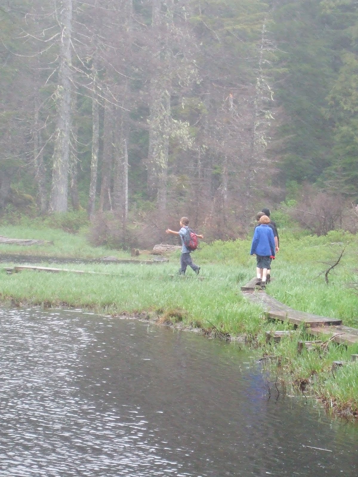
Downstream from the falls, near where you make
the small stream crossing...

The view from the ridge at the top of the falls....
The next two are taken on the switchbacks up to the top of the falls...


Stream crossing...


Large slugs....they grow them big here!


Strange bottle cap cross on a tree...
Lovely fungus pictures....


Lots of foxgloves...


 Oh, and did I forget to mention ripe berries? Yes, ripe Salmon berries! Yum!


Happy trails.....and berry snacking.... :)

Boulder River ~ June 23rd 2011


We got rained on for a few brief periods while we hiked today....but how else would we know we were in Washington... : ) Boulder River is a really pretty, not too difficult hike. The whole hike is 8 miles round trip, but we just hiked to the waterfalls and back which is about 2.5 miles round trip and makes for a nice, easy hike.


Surprisingly, the parking lot was almost full when I got there this morning at 11:30am on a Thursday! We saw several other groups of people on the trail which is quite unusual for a chance of rain weekday.


There is a little elevation gain on your way to the falls but not enough to be too challenging...just enough to get your heart pumping a bit. There were quite a few muddy patches....so make sure to wear boots/shoes with good traction and ones that you don't mind getting dirty.

Here is the first small waterfall that I refer to as
"little trickle" :)


The big falls


Fungus pictures!


These little ones were just so cute!
Plants:
Maidenhair fern
Tiny rosebud.....


Strawberry blossom...
And a very large slug...

It was about 6-8 inches long....
 And two silly boys....under the roots of a tree....


Happy trails...