This was the first time that we hiked here at
Bear and Pinnacle Lake. We were camping at the Turlo Campground on the Mountain Loop Highway and we're looking for something that would take us to a nice, cool, mountain lake.
Lake Twenty-Two had an overflowing parking lot, so we skipped that one. I think because this one is about 6 miles up several forest roads, it doesn't see quite as much traffic as the more popular trails like
Lake Twenty Two, although there were a number of other hikers on their way to and from Pinnacle Lake.
To get to Bear Lake, it's just a short .3 miles from the parking area to the cutoff. Follow the trail to the right and reach Bear Lake after another .3 miles. From what I've read this is a fisherman's lake or a nice short destination if you aren't up to much of a hike. We didn't actually visit Bear Lake, but just caught a few glimpses of it along the Pinnacle Lake Trail.
 |
| View of Bear Lake on the way to Pinnacle Lake |
The trail to Pinnacle Lake is kind of rough, rocky and muddy, but well worth the hike! It's about 3.8 miles round trip and gains 1100 ft of elevation. It was a hot day and we were glad to finally reach the tarn, where we stopped for lunch. My youngest son and I took our boots off and soaked our feet in the tarn and it was really refreshing, not to mention beautiful! After we ate and put our boots back on we walked the last .1 miles to the lake itself. It was nice and cool as well and we saw several people swimming in the lake.
 |
| View from the trail |
 |
| Another peak at Bear Lake |
 |
| Snow on the ground near the tarn. |
 |
| Coralroot Orchid |
 |
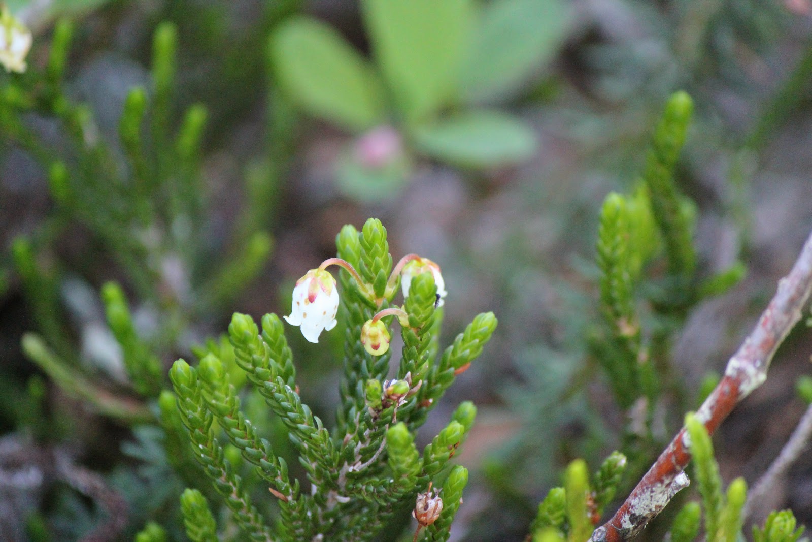
| Heather |
 |
| The tarn |
 |
| Tarn life |
 |
| Getting ready to eat lunch |
 |
| Cooling off in the tarn |
 |
| Taking a nap |
 |
| Pinnacle Lake |
 |
| Violets |
 |
| Slime mold |
 |
| Yellow Warbler |
Happy Trails!